February 01, 2003 - August 05, 2003
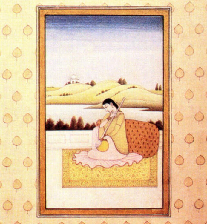
Manasarowar to Manora: Images (1830- 1940)
The river Indus, also called Sindhu, has been the lifeblood of South Asia. Unlike nations which have arbitrary boundaries, rivers flow across cultures and have historically allowed for the rise of different civilisations and cultures along their length, one of these being the Indus valley civilisation.
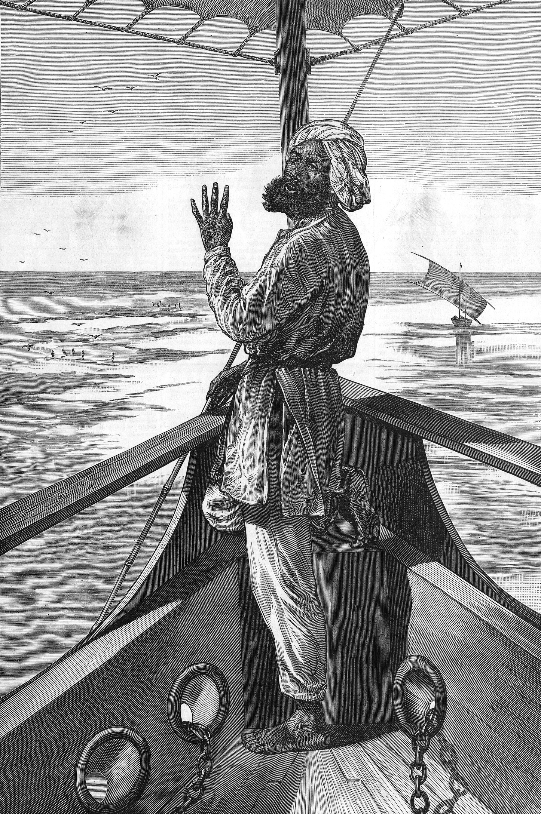
Images: Manasarowar to Manora used this premise to trace the path followed by the river Indus to showcase an exhibition of prints, engravings and drawings during the British Raj to record details of river’s territories and inhabitants. The exhibition was drawn from the collection of F.S. Aijazuddin.


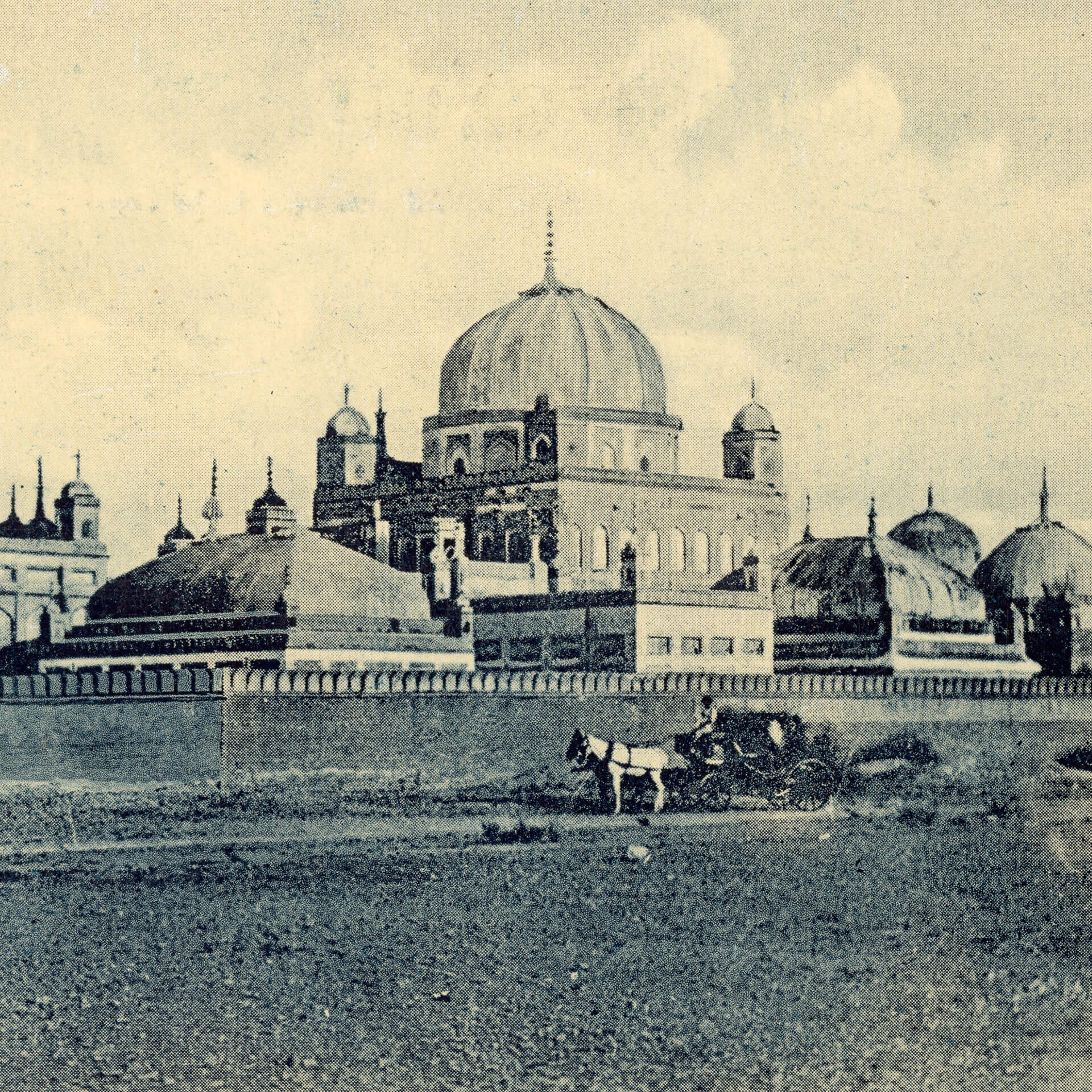
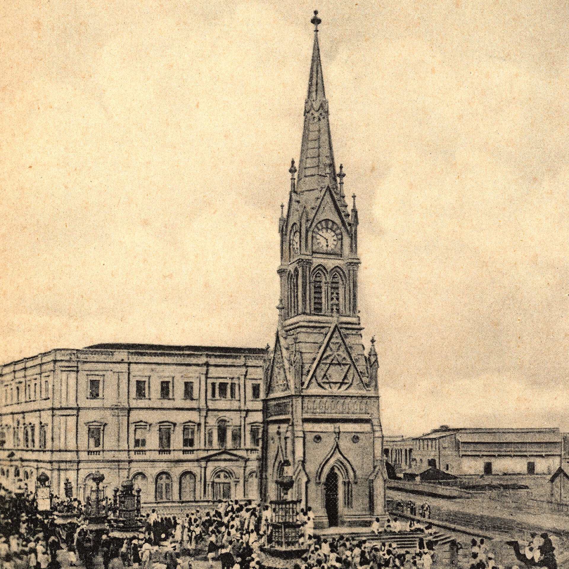
A special section of the exhibition focused on mid-19th century views of Karachi and its hinterland, a period when it developed rapidly and acquired prominence. Under British rule, important monuments, civic institutions, schools, churches, hospitals, roads and railways: all markers of a modern city, were established and put Karachi on the map. Other strategic locations included the Hyderabad Fort, Sukkur, monuments in Thatta, the Makran coast and the mountain passes of Balochistan. Detailed engravings of these, from drawings made by civil administrators, depicted how these sites made up a nexus of trade, exchange, and communication.

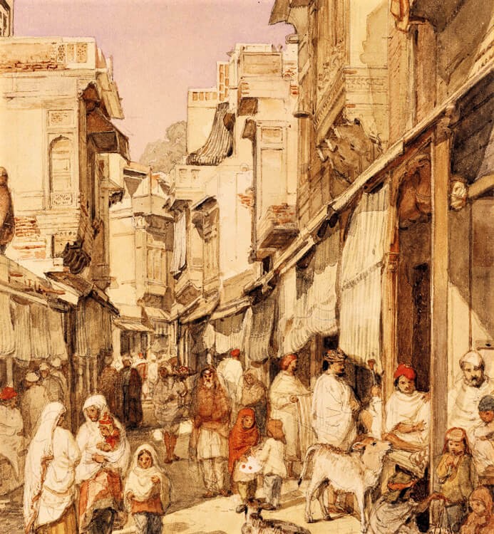
Views of Multan’s historic glory were depicted through engravings and etchings of its shrines, mosques and tombs. Orientalist works on the Punjab included maps, depictions of the bazaars in Lahore, Mughal and Sikh monuments. Beautiful views of the Lahore bazaar from The Illustrated London News circa 1855, prints of a Kashmiri bazaar from the collection in the Victoria and Albert Museum, London, as well as more contemporary images of sites in Skardu in Gilgit-Baltistan were also on display.